Affiliate disclosure: Some of the links in this post are affiliate links, which means I may earn a small commission if you buy through them, at no extra cost to you. As an Amazon Associate, I earn from qualifying purchases. Read my full disclosure.
I hiked about 400 miles in Glacier National Park during my summer living and working there. I’ve done just about every popular trail on the east side, and the hikes that surprised me most weren’t the famous ones. They were the trails nobody talked about, where I passed maybe a handful of people all day and my jaw was on the floor the whole time.
So here are the most underrated hikes in Glacier National Park, plus a bonus fifth hike just over the border in Waterton, straight from someone who has actually done all of them.
- Best for: Hikers who have already done (or want to skip the crowds on) Grinnell Glacier, Avalanche Lake and the out-and-back Highline
- Best months: Mid-July through September, once the snow has melted at the passes
- Must-haves: Bear spray, layers for wind, plenty of water and an offline map (Gaia GPS or AllTrails)
Trail distances below are based on National Park Service and Parks Canada figures. Point-to-point totals are added up from the official segment mileages, so treat them as close estimates. Conditions change every year, so always check the NPS trail status page before you go.
1. Piegan Pass (Siyeh Bend to Many Glacier Hotel)
- Distance: About 13 miles point to point (4.5 miles from Siyeh Bend to the pass, then about 8.4 miles down to Many Glacier Hotel)
- Elevation gain: About 1,900 ft to the pass, then mostly downhill
- Start / end: Siyeh Bend on Going-to-the-Sun Road / Many Glacier Hotel
- Crowds: I passed maybe two other people, and they were Continental Divide Trail thru-hikers
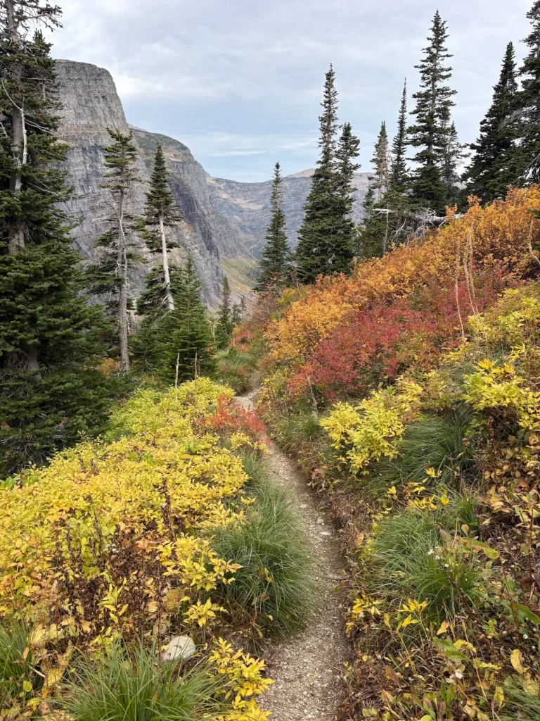
Piegan Pass was one of the last hikes I did in the season, and it ended up being one of my favorites. Honestly, I almost didn’t do it, because no one ever talked about it. I figured it would be boring. But I’d done nearly every other hike on the east side, so I had to see for myself.
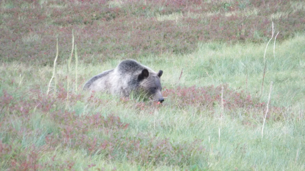
It starts off kind of lame, mostly in the trees. Then it opens up and it’s crazy. I did it in the fall with all the colors changing, and once my jaw hit the floor, it didn’t come back up. There are waterfalls everywhere, one huge waterfall you keep getting views of the entire way, and mountain views in every direction. I saw multiple mountain goats and one bear. The bear wasn’t reactive at all, but I had my bear spray in hand just in case.
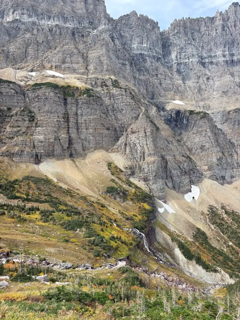
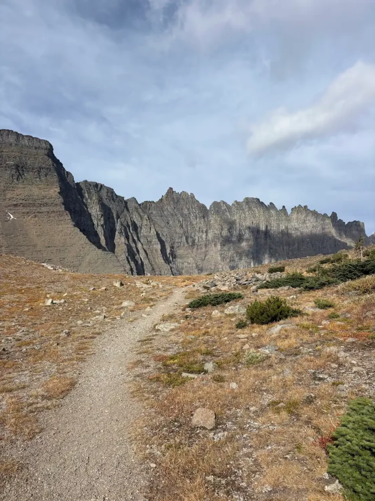
It’s also not insanely hard. There’s a climb at the beginning up to the pass, and the rest is mostly downhill to Many Glacier.
How to do Piegan Pass as a point-to-point hike
Do this as a one-way hike if you can. A lot of people do it as an out-and-back to the pass because they only have one car, and they miss some of the best parts of the trail. Don’t do that.
- Two cars (best): Leave one car at Many Glacier Hotel, then drive the other to Siyeh Bend on Going-to-the-Sun Road and start there. There’s usually plenty of parking at Siyeh Bend.
- One car: Hitchhiking to trailheads is pretty common in Glacier, and I’ve had luck asking people I met on the trail for a ride back. Use your judgment and stay safe.
- Getting there: Siyeh Bend is on the east side of Going-to-the-Sun Road, a short drive up from St. Mary.
Here’s my TikTok from this hike so you can see what I’m talking about:
Watch my Piegan Pass video on TikTok
2. Siyeh Pass (Siyeh Bend to Sunrift Gorge)

- Distance: About 10 miles point to point (4.6 miles up to the pass, about 5.6 miles down to Sunrift Gorge)
- Elevation gain: About 2,350 ft
- Start / end: Siyeh Bend / Sunrift Gorge, both on Going-to-the-Sun Road
- Time: About 5 to 6 hours
- Crowds: I passed maybe 10 people all day
Siyeh Pass also starts at Siyeh Bend, so it’s the same setup: two cars if you can (park the second one at Sunrift Gorge) or hitch a ride back. This is another trail where I barely saw anyone, which is wild for Glacier in summer.
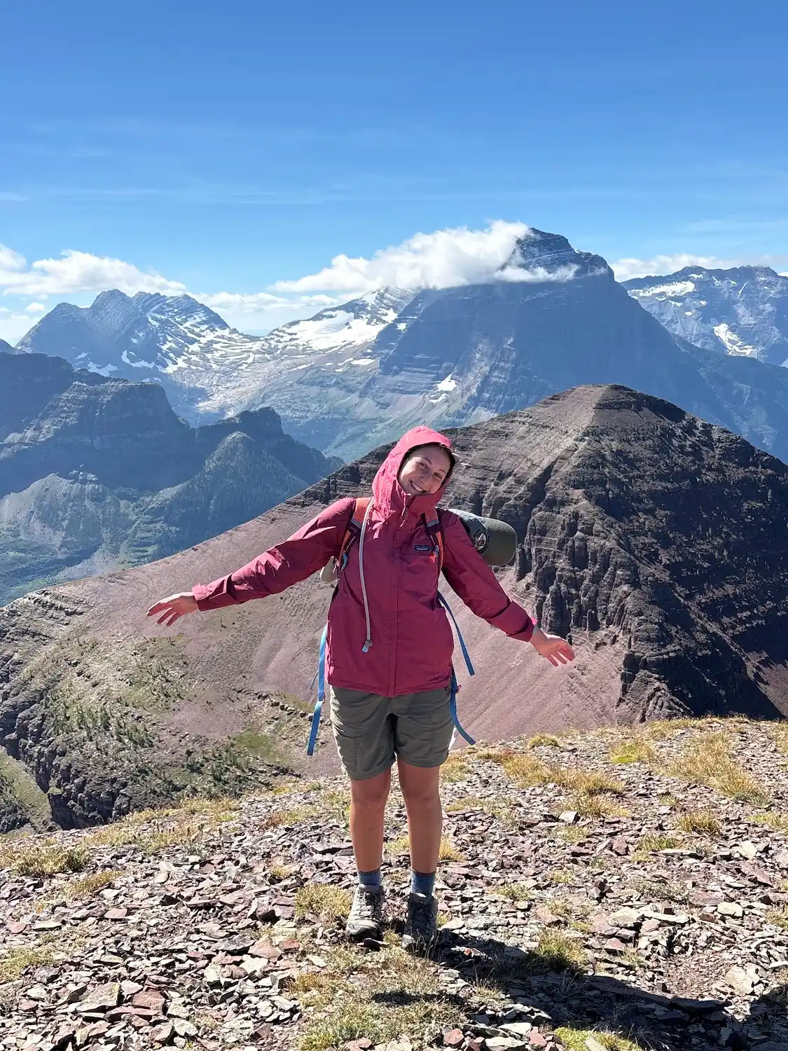
I’ll be honest, this one is a bit harder. The climb to the pass is steep and it got really windy when I did it. I felt like I was going to blow away, so bring a wind layer. Once you get over the highest point, the wind calms down, and there’s a sheltered spot near the top with a great view that’s perfect for a lunch break.

From there it’s downhill the rest of the way, with mountain views that left my jaw on the floor, red rock, waterfalls and a glacier view. Some hikers also spot bears in the meadows here (I did!), so keep your bear spray where you can grab it.


3. Highline Trail to Swiftcurrent Pass (Logan Pass to Many Glacier)
- Distance: About 15 miles point to point, or about 18 with the Swiftcurrent Lookout detour
- Start / end: Logan Pass / Swiftcurrent Motor Inn in Many Glacier
- Difficulty: Not super hard, just long. Plan on a full day.
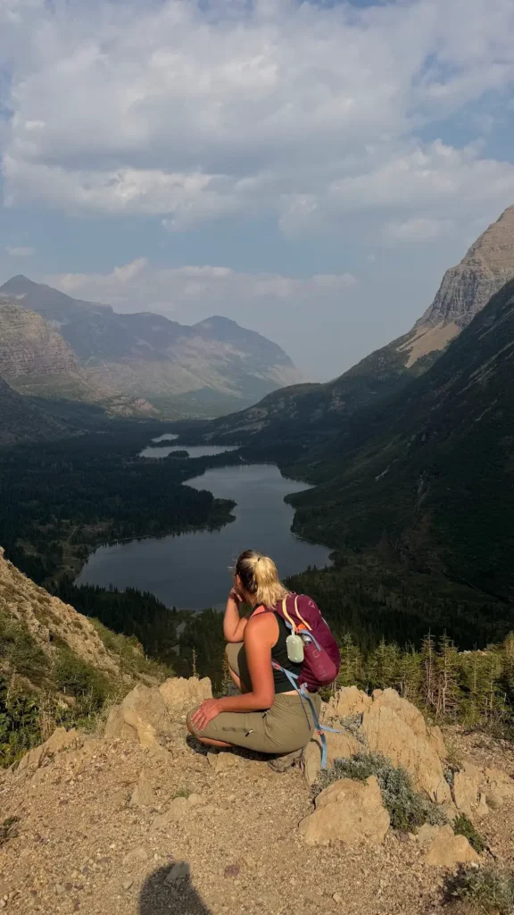
Everyone knows about the Highline. But almost everyone does it as an out-and-back or hikes from Logan Pass down to The Loop. I recommend a different route: hike the Highline from Logan Pass to Granite Park Chalet, then go over Swiftcurrent Pass and down into Many Glacier. You get way better views of the lakes, and way fewer people.

Parking and shuttle tips for the Highline
- Take the shuttle if you can. In 2026 the Logan Pass shuttle ran July 1 to September 7 and needed a $1 ticket on Recreation.gov for everyone age 2 and up. Glacier changes this almost every year, so check the current NPS shuttle page before your trip.
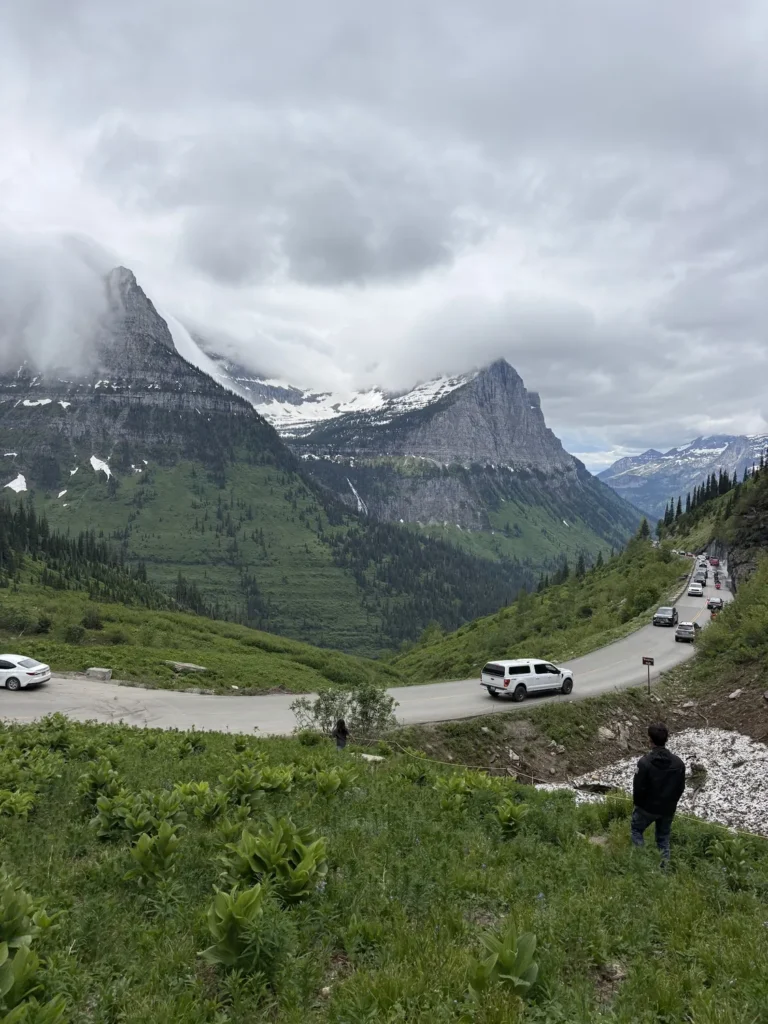
- Logan Pass parking has a 3-hour limit (enforced in 2026), which won’t work for an all-day hike. To avoid the time limit, I always park at a pullout about a quarter mile east of Logan Pass toward St. Mary (48.69725, -113.71096). There was no time limit there in 2026, and it fits about 10 to 15 cars. It’s best if you’re coming back to Logan Pass, since this route ends in Many Glacier.
- Leave your car in Many Glacier. This route ends near the Swiftcurrent Motor Inn, so park a car there for the end of the day.
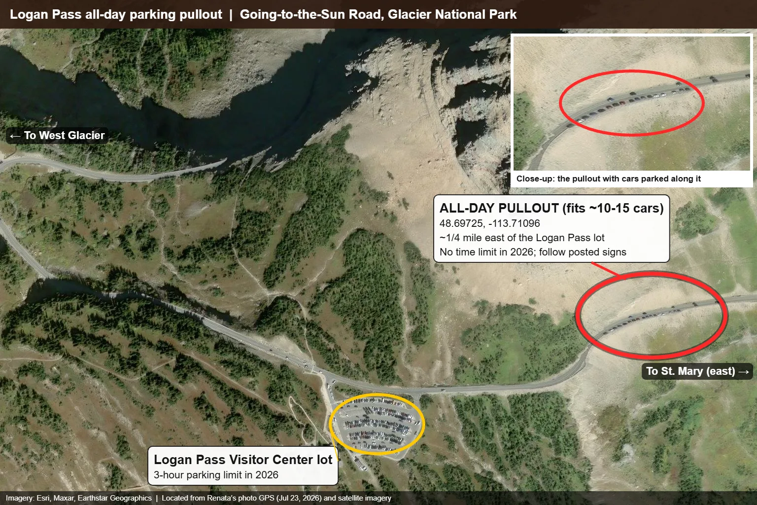
This is what I did in 2026. Parking rules at Logan Pass may change in following years, so always follow posted signs and check the NPS site before you go.
How I got Logan Pass shuttle tickets in 2026
I almost never used the shuttle unless it was the most convenient option for a long hike starting at Logan Pass. When I did, here’s exactly what I did:
- The night before, I made sure I was logged into my Recreation.gov account with the shuttle ticket page already loaded.
- At 7 p.m. on the dot, I watched for the next day’s tickets to open and clicked the time slot I wanted. Sometimes my slot was gone immediately, so I picked the next best time for me.
- Tickets cost $1. After you pay, you get a QR code, and they just scan it on your phone screen when you board.
- They said they check national park passes, but nobody ever checked mine. You still need a valid park entrance pass to be in the park, so don’t skip it.
This is how it worked for me in 2026. The shuttle system may change in 2027 or following years, so always check the NPS shuttle page and Recreation.gov before your trip.
I’d skip the Grinnell Glacier Overlook spur on this route. It’s short but very steep, and it takes a lot of energy out of you on an already long day. If you got an early start and have extra time, stop at Granite Park Chalet instead, and if you still have energy, add Swiftcurrent Mountain.
Add the Swiftcurrent Mountain Lookout
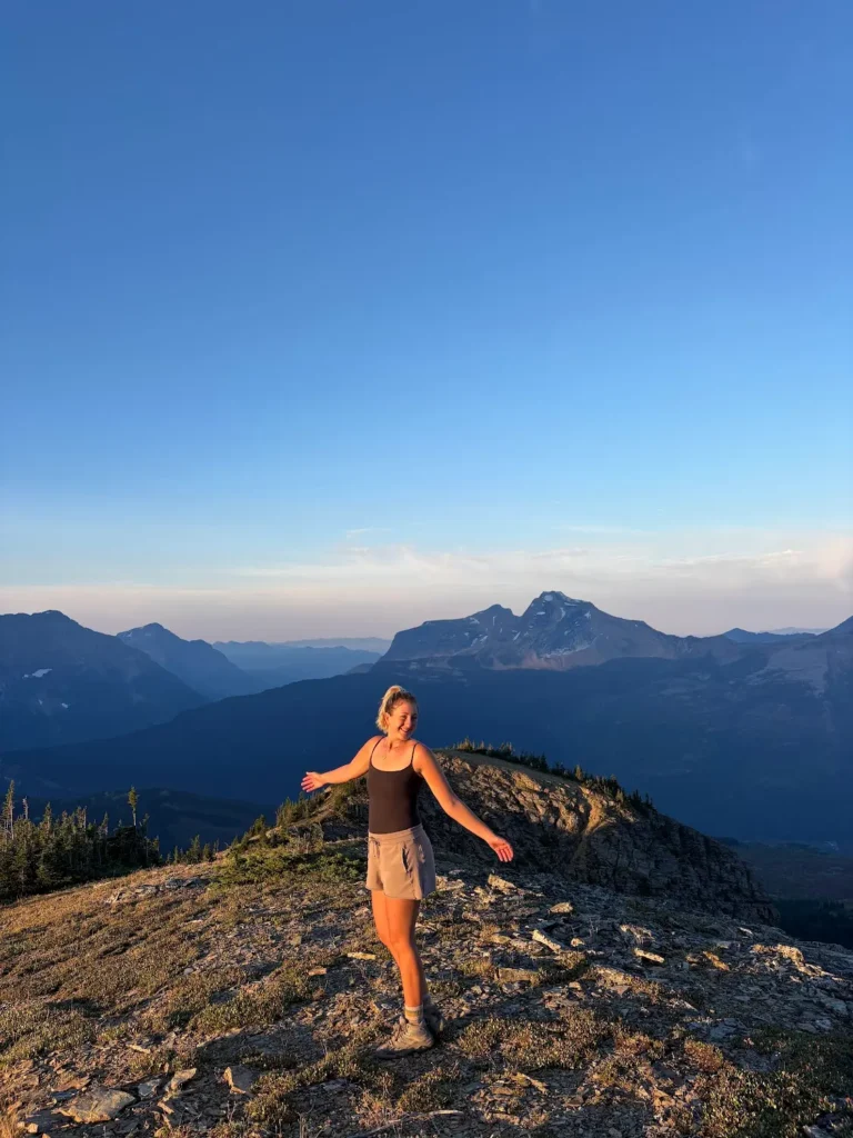
From Swiftcurrent Pass, the lookout is about 1.5 miles each way on a steady climb (around 1,300 ft). It’s stunning up there. Every single time I’ve been near Swiftcurrent Mountain there has been a bear, so be on the lookout and have your bear spray ready.
As you head down from Swiftcurrent Pass, you get almost the same view you’d get from the Grinnell Overlook, plus waterfalls and a whole chain of lakes below you. You won’t pass many people, and there is bear activity in the area, but I highly recommend doing it this way.
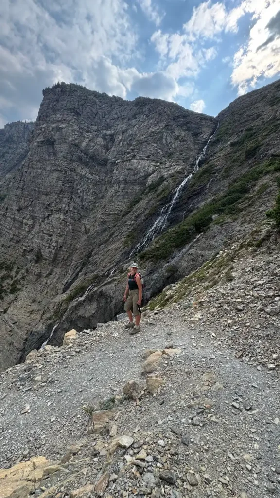
4. Comeau Pass and Sperry Glacier (from Lake McDonald Lodge)
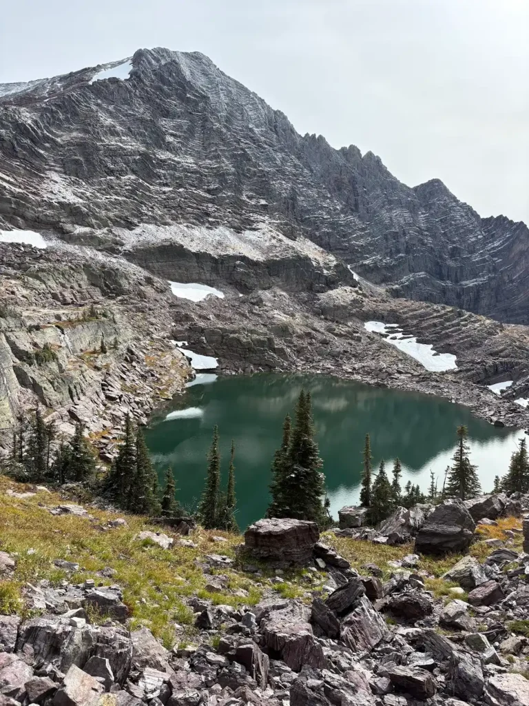
- Distance: About 19.5 miles round trip (about 6 miles to Sperry Chalet, then about 3.8 more to Comeau Pass and the glacier)
- Elevation: An uphill climb basically the whole way up
- Start: Lake McDonald Lodge, via the Gunsight Pass Trail and Sperry Glacier Trail
- Option: Split it into two days with a night at Sperry Chalet
This has to be one of my favorite hikes in the park. The first 6 miles or so, up to Sperry Chalet, are honestly a bit boring. But after the chalet it gets so pretty that you’ll be distracted by how beautiful everything is. The amount of photos and videos I took was insane.
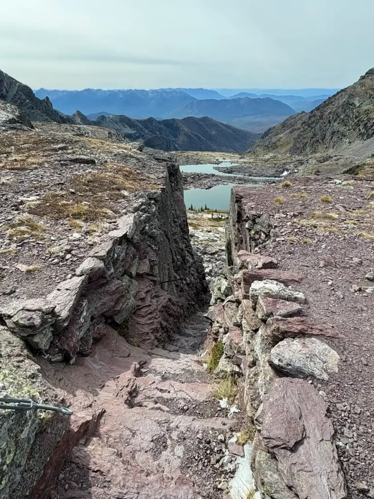
You climb up through rocky terrain with waterfalls and lakes everywhere, then through a staircase cut right into the cliff at Comeau Pass. Once you’re up by the glacier, you can explore a bit off the main route. I highly recommend it, but have an offline map like Gaia downloaded so you don’t get lost. Exploring near Sperry Glacier was so much fun, and it’s hard to even describe what I saw.


Watch my Comeau Pass hike on TikTok
Doing Comeau Pass in one day vs. staying at Sperry Chalet
I did the whole thing in one go. It’s a long, long day, but it’s not impossible. If you do it as a day hike, bring a headlamp, warm layers and extra water. I always bring my LifeStraw squeeze bottle, and this hike has plenty of water sources to refill from.
If you’d rather break it up, Sperry Chalet books up way ahead, so plan early. For 2026 the season ran July 10 to September 12, and the chalet says 2027 reservations open in January 2027. Check their site for exact dates and cancellation rules.
5. Bonus: Akamina Pass, Wall Lake and Forum Lake Loop (Waterton)
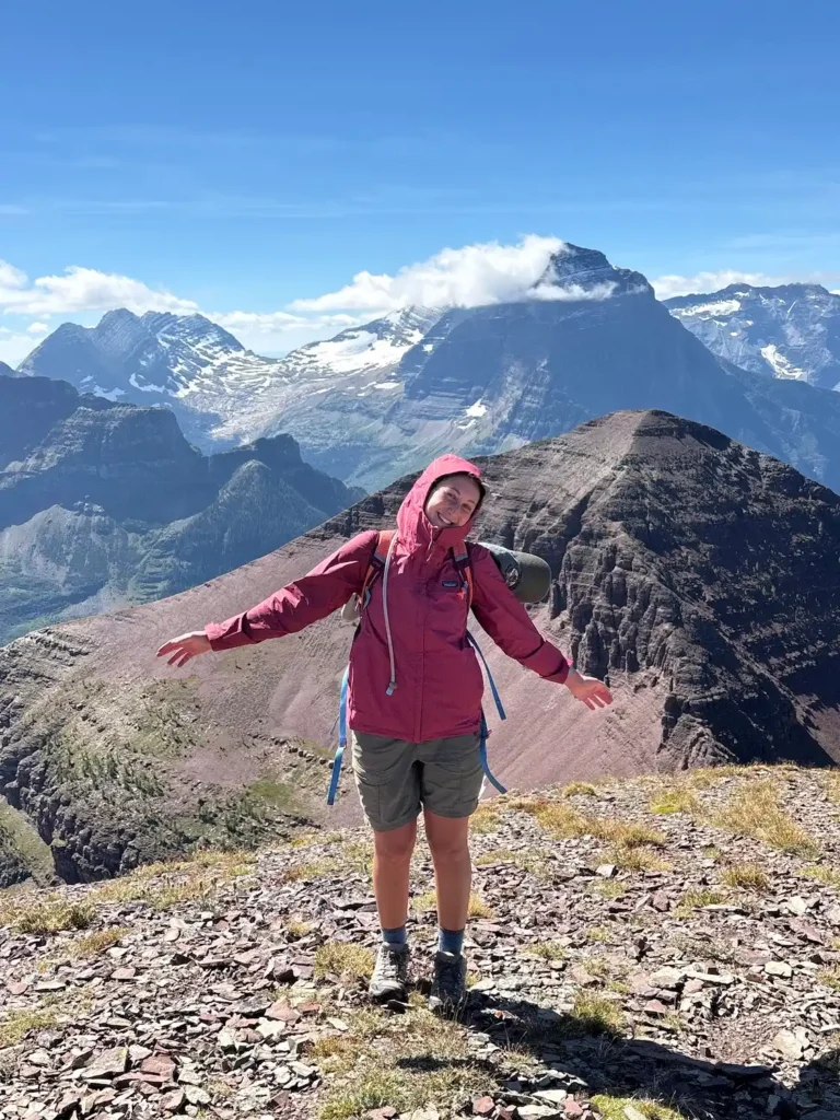
- Distance: 11.6-mile loop with about 3,440 ft of elevation gain (per AllTrails)
- Where: Starts at the Akamina Pass trailhead on the Akamina Parkway in Waterton Lakes National Park (Glacier’s sister park in Canada) and loops through Akamina-Kishinena Provincial Park in British Columbia
- Difficulty: Hard. There’s a steep, exposed rock scramble up to the ridge that’s off route (no actual path to follow), and the loop is recommended clockwise.
- Bring: Your passport for the border crossing
A friend told me to do this hike, and I was not expecting how pretty it would be. At first I was like, eh, it’s okay. Then you start climbing and woahhhh. It’s crazy.

The loop follows the Akamina Pass Trail past Forum Falls to Forum Lake. From there it’s a real climb: you scramble up steep rock to the ridge, walk the ridge with views in every direction, then come down past Bennett Pass to Wall Lake before the easy walk out. The scramble is absolutely worth it if you’re comfortable with that. It gets cold and windy at the top, so bring layers, and do it on a clear day, because you can see mountains for miles. My jaw was on the floor the entire time we were up on the ridge. It’s also just a really fun hike.
Heads up: The rock scramble section is off route. There’s no actual path to follow, so I’d recommend having some previous scrambling experience before you try it. Download an offline map (I use Gaia) before you go.
Here’s my TikTok from Akamina:
Watch my Akamina Pass, Wall Lake and Forum Lake loop video on TikTok
Tips for hiking these underrated trails
- Download offline maps. I use both Gaia GPS and AllTrails in case I get off track or need to find where trails connect. If I had to pick one, it’s Gaia. I’m still figuring it out, but it’s saved me so many times.
- Carry bear spray and know how to use it. I saw bears on several of these trails. The NPS bear safety page is worth a read before you go.
- Watch for snow and ice. These trails go over high passes, so there can be snow early in the season. They’re best in peak summer or early fall. If it has snowed recently, wait until it’s been warm for a few days.
- How I check trail conditions: Before every hike, I look the trail up on AllTrails and read the most recent reviews. People comment about whether there’s snow or ice, how the trail is holding up and what they recommend, so I know what to expect before I go.
- Plan your car situation. Piegan, Siyeh and the Highline route are all point-to-point, so figure out your shuttle, second car or ride before you start.
Want more? Here’s my list of the best Many Glacier hikes besides Grinnell Glacier, my 7-day Glacier National Park itinerary, and my guide to the best time to visit Glacier. If you’re up for a multi-day trip, my Bowman Lake to Kintla Lake backpacking guide is the most underrated backpacking trip in the park.
And here’s the hiking gear I actually use and recommend.
Underrated Glacier hikes FAQ
What is the most underrated hike in Glacier National Park?
For me it’s Piegan Pass. Almost nobody talks about it, I saw about two people all day, and in the fall the colors and waterfalls are unreal. Siyeh Pass is a close second.
Do I need two cars for Piegan Pass or Siyeh Pass?
Two cars make it easiest, since both are point-to-point hikes. If you only have one car, plenty of people hitch a ride back to the trailhead in Glacier, or you can ask hikers you meet on the trail.
When is the best time to hike these trails?
Mid-July through September is best, once the snow has melted at the passes. September is my favorite for fall colors and fewer people. Here’s my month-by-month guide.
Is the Akamina Pass, Wall Lake and Forum Lake loop in Glacier National Park?
No. It starts in Waterton Lakes National Park, Glacier’s sister park in Canada, and loops into Akamina-Kishinena Provincial Park in British Columbia. You’ll need a passport to cross the border.